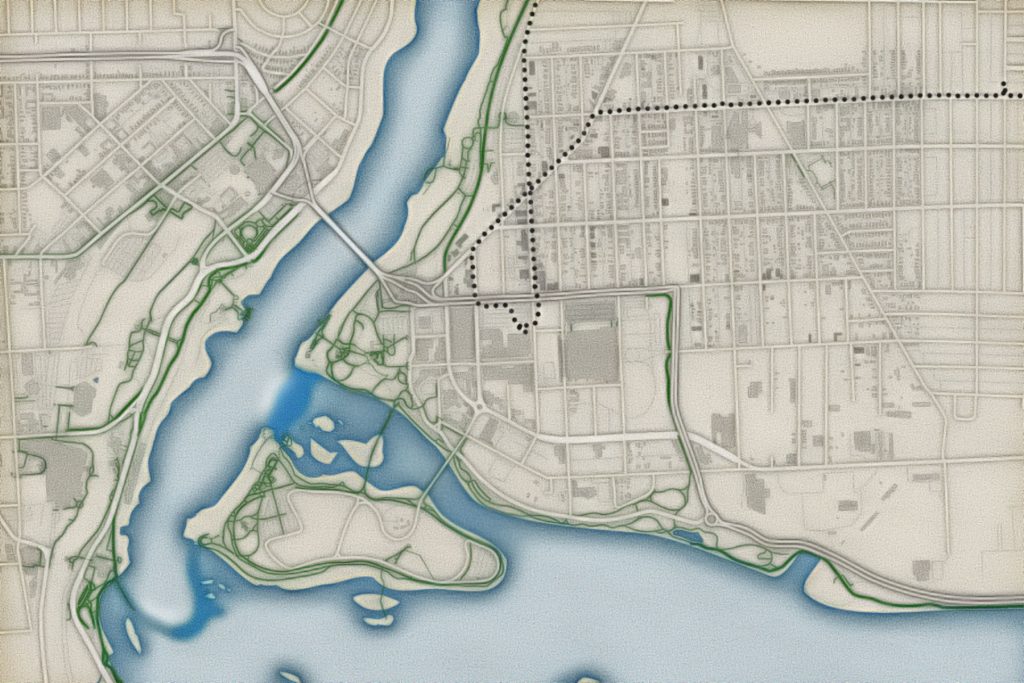
A simple map of Niagara Falls
I was creating some videos about using MAPublisher, and they were very much “how to” videos that ended up being a half hour and tried to do too much.
So I thought about how I might create a short video that is to the point – a video about how useful MAPublisher is when it comes to importing data.
Here’s the map I came up with. It’s mostly in Illustrator, and I finish it off in Affinity Photo to make it more compatible with the river scene from our trip.
Kate and I had gone to dinner at the Rainforest Cafe and then walked down to the river. I liked this area just above the American Falls. Niagara Falls was our destination (and halfway point) in a loop from Ithaca to Niagara Falls.