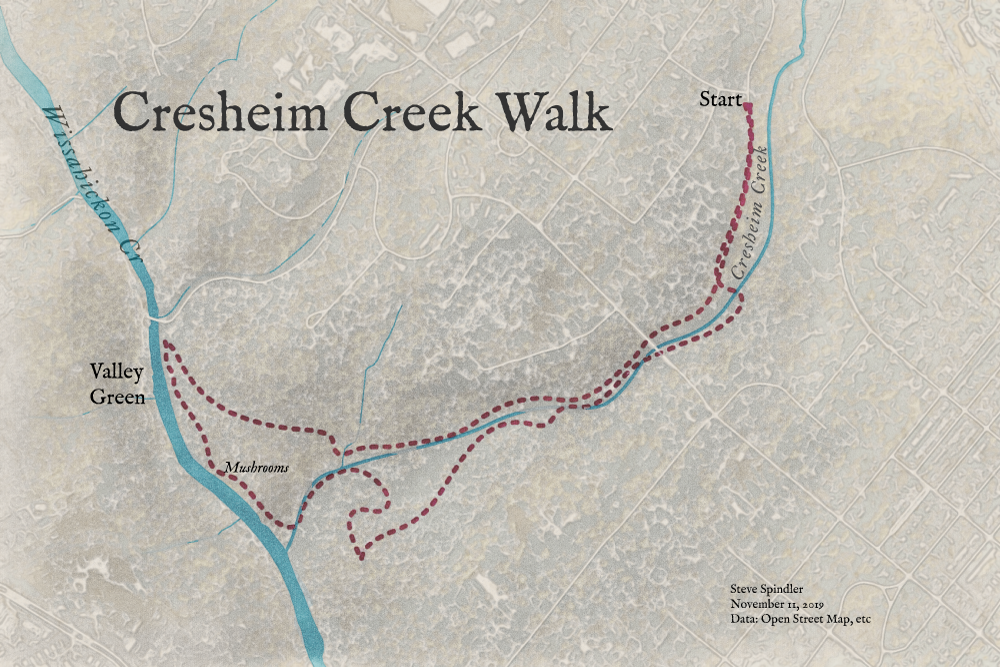
A walk in the Wissahickon
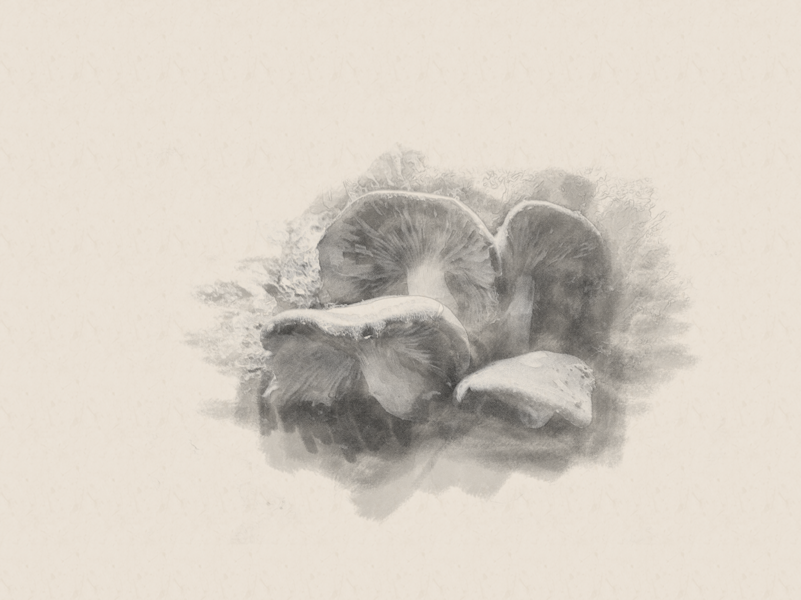
We walked a loop along Cresheim Creek and the Wissahickon this weekend. At first I didn't see any mushrooms, but then they were everywhere.
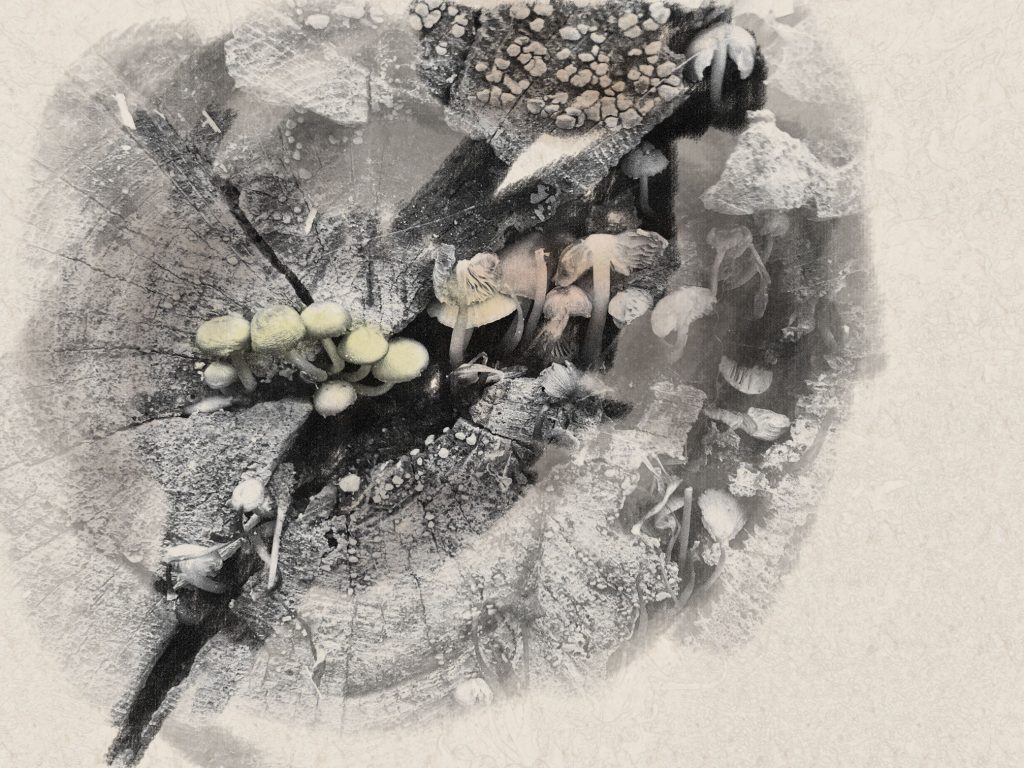
I want to integrate pencil into my maps. For this I chose a charcoal brush and started with a dark opacity to highlight the end of the log. Then I worked with a lighter opacity around the edges. And finally, I added some color to highlight the mushrooms.
The log was much larger than the photo, so I tried to rub a lot of it out.
Similar process with a map of our route.
Below is a map that I felt needed to go with the mushroom images, but I'm really not happy with the way it turned out. To make it, I combined water and road data with shaded relief and aerial imagery that I segmented into four types of tree canopies. I focused on using a similar technique as the mushrooms, but the base didn't seem to lend itself to monochrome charcoal.
I added a little color into the background.