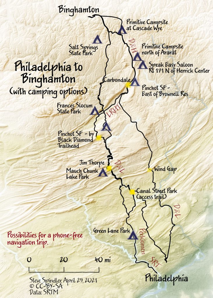
Redoing yesterday's Philly to Binghamton map
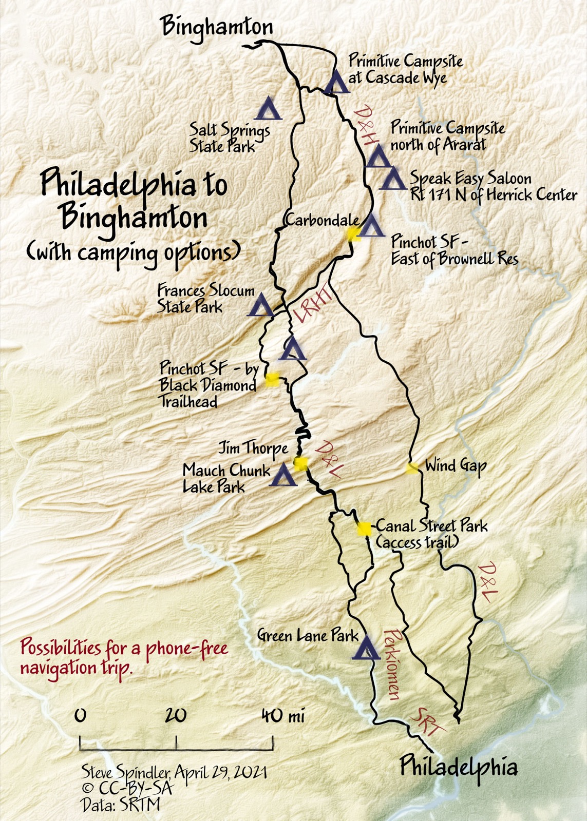
I used Natural Earth as a short cut for a few recent maps. But this morning I wanted to try a bilinear resampling of the SRTM elevation data. I like the result.
In this version, I added a few more route options and a couple of campsites. The Speakeasy is supposedly developing a campsite. It's just east of the trail north of Herrick Center. The best trip would be to not use any digital (or print) navigation. I can't get away from taking photos though. Wandering...
Here's the map