Scanning the New York Central System Maps

When the New York Central System was sold off to form Conrail in the 1970's, a lot of history was lost. Who wanted to store an office building basement worth of old documents? And today these may be one of a kind.
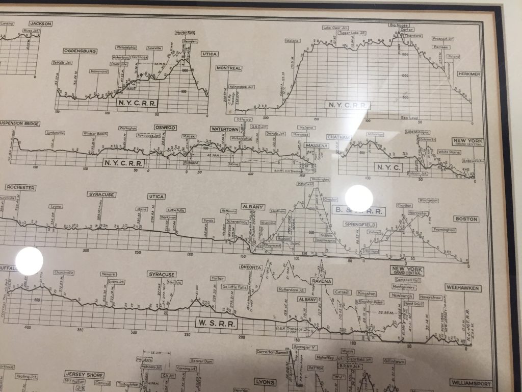
My neighbor was gracious enough to let me remove some maps and elevation profiles from their frames so that I can create high quality scans. I'm going to do this later this month. Then he plans to sell the maps.
The feature image of Lake Erie (above) is based on a skewed photo of one of the maps. I was testing some DAUB® brushes in Affinity Photo.
Below is part of the elevation profiles image.