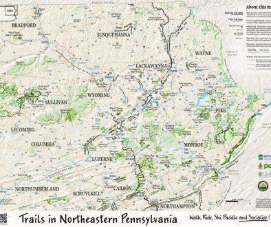
Practicing techniques to use on Eastern PA Map series
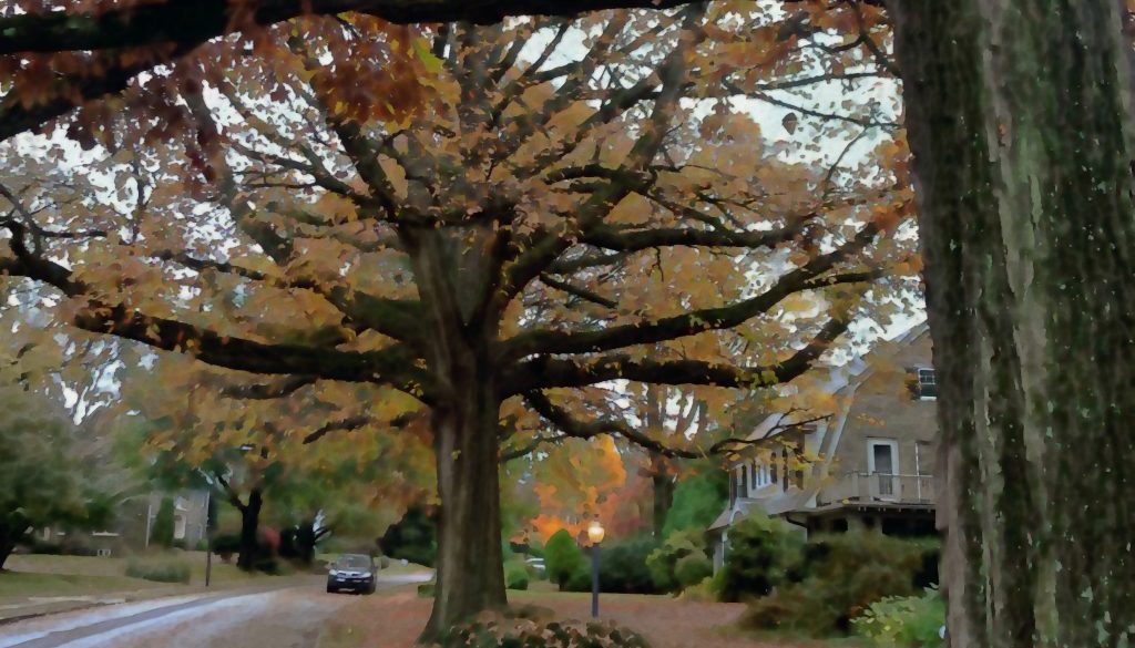
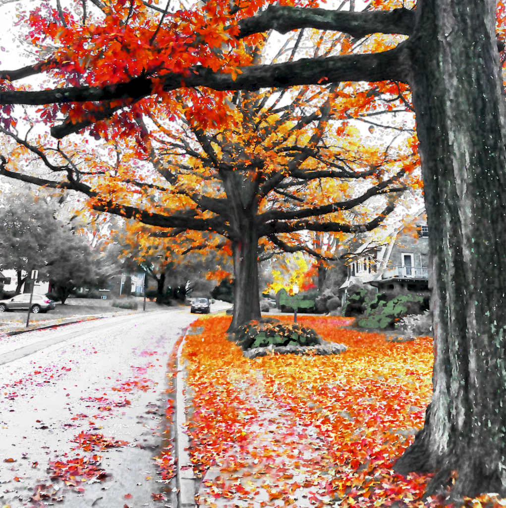
This is from my morning walk home from Starbucks.
I thought I’d write about what I’m working on even if it doesn’t make sense to anyone else.
The basic challenge I’ve been thinking about is how to create a non-destructive basemap that enables me to update data. The problem with this technique is that there is so much custom hand work. And when I need to update the background, I have to redo custom brush strokes.
A key aspect is being able to repeat actions to achieve a specific effect. This can obviously be done using the actions palette if I record the actions. Repeatable steps can manually be facilitated in part by labeling layers with the numerical settings taken for each layer. I might also work with live objects from Illustrator and see if that’s enough.
All this can be done, but the issue is that if I come back to a map months or years later, I need a document to familiarize myself with what I did in the first place to get each effect.
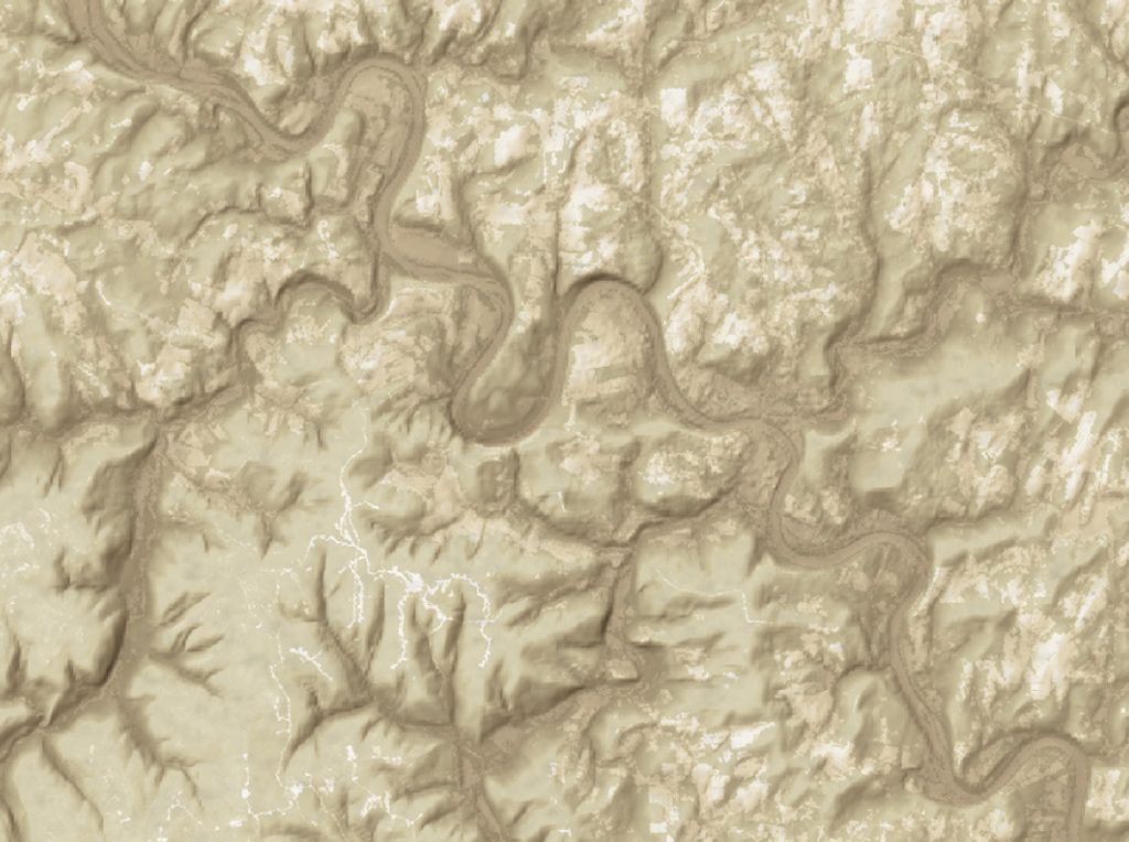
The current look of the PA Map series is like below. The area shown here is centered on Tunkhannock. When I look at this, I’d like to better convey the angle of brush strokes and have more control over the roads.
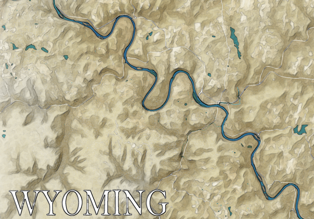
This version, at least, was more towards what I’m aiming for, as opposed to this (which was earlier and didn’t have the river, though that is not what I’m referring to):
