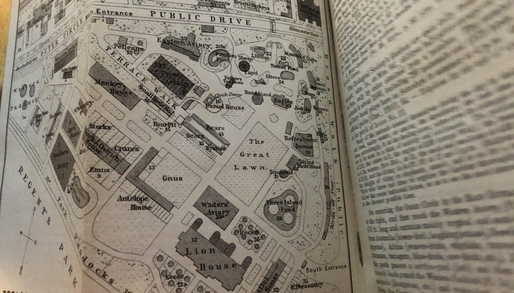
Baedeker’s Guide is easier to read using google books.
This morning I was learning about Snellenburg’s, a department store that was on Market Street across from Reading Terminal. I had been reading the WPA Guide from 1937, comparing it to the Baedeker’s London Guide from 1911 that Paul Bunting loaned me.
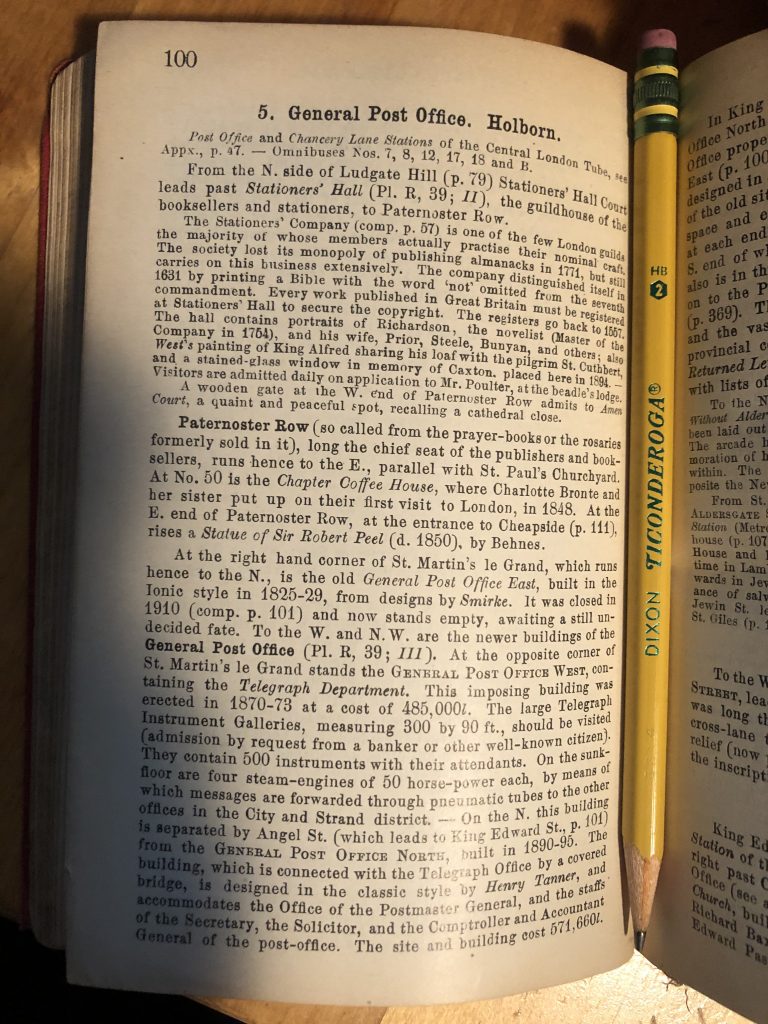
The Baedeker’s Guide has more interesting information as well as somewhat mundane information. I think both guides could be reformatted into a more digestible format. The type of the Baedeker’s is so small. Did people used to have better vision? Or did they use magnifying glasses more?
The London is interesting when read while referencing wikipedia and google maps, and I am trying in bits and pieces. Instead of reading the original, which has small print and is fragile anyway, I can read it here using books.google.com. It’s easier to read.
Here’s a page with a HB pencil for text size comparison.
Here’s another good link to British travel maps.
