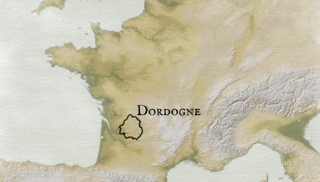
From a bike ride in Dordogne
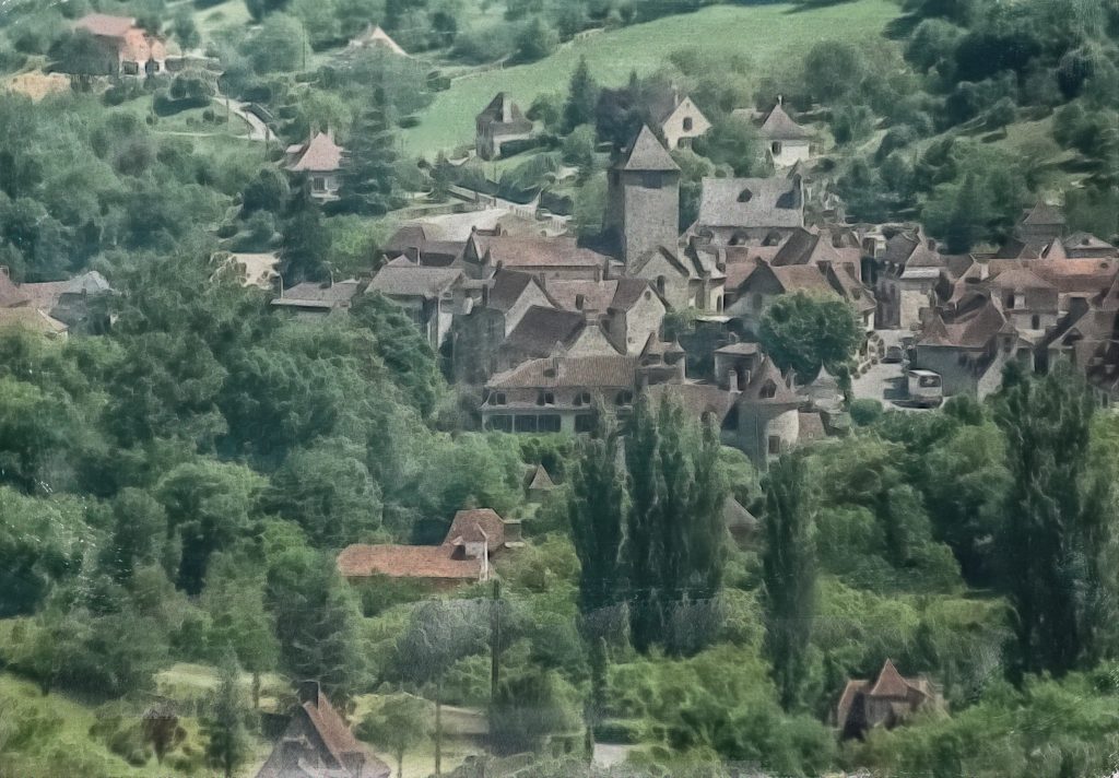
Dordogne, in France, captures my imagination. It offers a contrast to most anywhere in Pennsylvania. Rather than towns choked by in-fill development and suburban sprawl, the architecture and the agrarian or wooded landscapes work together to provide cultural and outdoor experiences in close proximity without the dominance of car traffic.
I value the French village landscape surrounded by nature. What must one do or have to live in a place like this in the 21st century? Can someone who grew up here afford to stay?
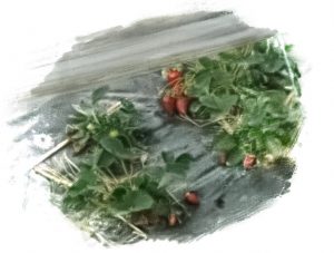
Say you were an organic intensive strawberry gardener?
These strawberries rely on someone paying attention to the soil, protecting the berries from the sun and cold, and a lot of attention. But there has to be a market for it. Do farmers also have to commute to jobs, or is intensive gardening a hobby?
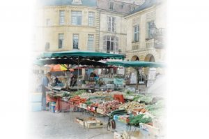
The food markets may sell local produce, but they also supply globally grown produce. And whether you are in France or the US, food production seems more centralized than ever. Bread from an urban bakery gives way to bread from a suburban factory that calls itself a bakery. Maybe the best way to get a croissant is to make it from scratch.
Still, this landscape in Dordogne feels like it has agrarian roots.
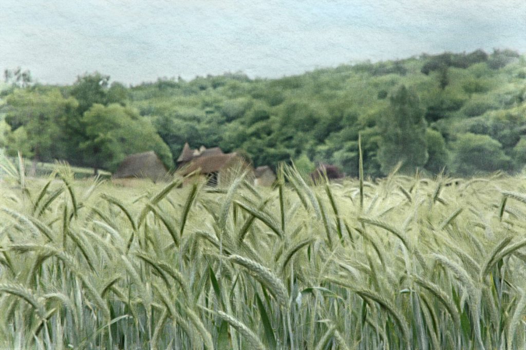
And you can’t help but appreciate the chateaus above the river valleys.
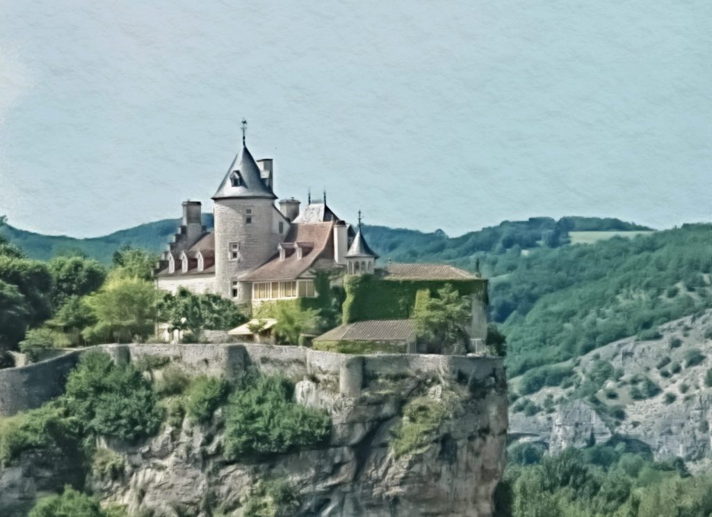
I’ve actually painted the following and have it somewhere.
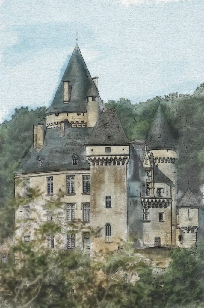
If you found this blog post, thanks for letting me share some of my travels with you.
About the map
I made the map using SRTM digital elevation models. I combined these into a very large file, about 16 gb. At the same time, I downloaded the Open Street Map data of France and put that into a geopackage that is about 42 GB. The problem is that cleaning up the data was taking all day. I wanted more river detail than I could get with Natural Earth Data. And the level of detail was too much to work with for this post.
The colors for the map are based on Edward Imhof’s colors for Swiss topo maps, Plate 9 in his book on Cartography. But then I added a tint to bring in some color from a castle into the the map. For the textured paper, I used Olga Thelavart watercolor texture and also Classic Art Diary Paper by TGTS.
Digital photo paintings
The paintings were either done with an HB pencil digital brush that I used at light opacity with a large coverage and then went darker and smaller with the brush. For the final castle, I used a DAUB water color brush, bleeding bristle, I think, at different scales. All of this was done in Affinity Photo.
