My Horse-Shoe Trail Journal
Why I made my own Horse-Shoe Trail maps
There are times to create maps for pleasure, and there are times to create maps for an audience. “Creating a map” involves solving many little problems.
I work on maps daily, and there’s always more to learn. This is the process that I can apply to my Horse-Shoe Trail maps: “Think – Work – Document – Improve – Test (use) – Share – Iterate”
I want to improve my mapping system
After completing maps of the Erie Canal, I wanted to create another series of maps.
My maps need to remain editable. A series of connected maps makes editing complex. Consider what happens if the trail changes and you need to reposition four map frames. What happens if you have one data change that affects different maps at different scales?
How will you do this? Everything has to adjust.
Documenting my process helps me make future edits. I document my work by recording my screen to Vimeo.com as I work.
Components of my system for making maps
-
Database management
-
Data acquisition and creation
-
Spatial database queries
-
Fact checking
-
Image processing
-
Design – scale, symbols, colors, texture, linework
-
Automated cartographic styling
-
Manual cartography
-
Layout
-
Versioning
-
Documenting
My system needs to serve both an archetype and my goals.
Cost barriers – licenses & training
I spend $3000 dollars a year on software licenses that I used to create my Horse-Shoe Trail maps. As a professional, these are worthwhile.
I hope to create a process that produces the same result for a total of $150. By doing this, I can teach people how to make their own maps of the trail.
Journaling the Horse-Shoe Trail
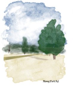 I decided to make Horse-Shoe Trail maps into a journal. A journal imbues connection between a person, moments and a place. A journal is like a guide that shares one person’s perspective. It’s not all inclusive.
A journal can share personal discoveries. It can document experiences of the place. It’s so different than a google map or app providing turn by turn directions.
Respecting volunteers and property owners
Any trail has challenges. We live in an era of consumptive trail use. (i.e. The public uses trails managed by professionals.)
The Horse-Shoe Trail Club originated in a different era. Originally, land owners in the 1930’s chose to provide access to the Horse-Shoe Trail. It took handshake agreements, and only one mile was on-road. Over the last 80 years, parts of the trail have become roads. Changing land uses have altered the trail alignment.
The Horse-Shoe Trail Club (now Conservancy) got its start in a society that valued active participation. Trail clubs were social organizations whose members could afford to spend time outdoors. Hostels served the trail. Farmers knew each other. Silas Chamberlain has a good book on the topic of early trail development.
Today, the Horse-Shoe Trail Conservancy works to preserve the trail. Volunteers maintain the trail and convey updates though a newsletter and on facebook.
The trail links many trail networks
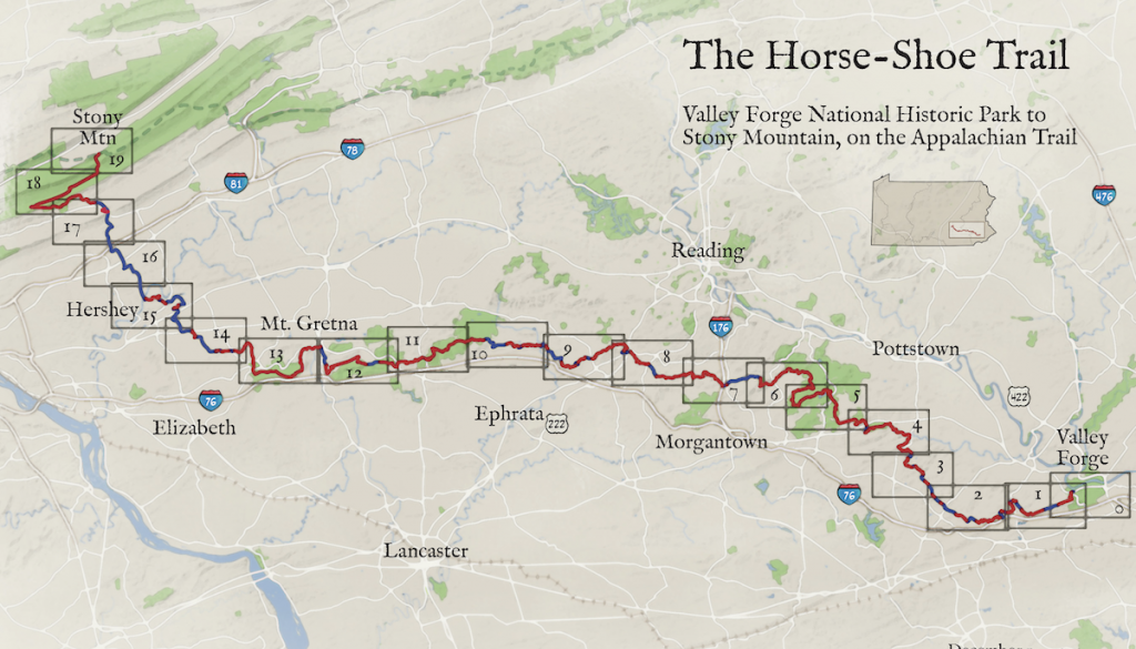
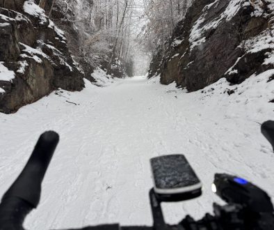
When you visit the trail at French Creek State Park or Valley Forge N.H.P, you’ll see how it connects to many other trails. This is the case at Middle Creek, Mt. Gretna, and elsewhere. I visited the west end of the trail along the Appalachian Trail in January and hope to visit more spots in Chester County soon.
Easy places to access the Horse Shoe Trail are in the vicinity of state and public lands. But the trail has access points that are marked on the official Horse-Shoe Trail maps.
Why I don’t plan to publish my book
The Horse-Shoe Trail Conservancy publishes maps that show routes on private property. Hikers and equestrians are visitors. While the trail is open to the public, there are rules to follow.
As long as I make a book for myself, I don’t have to worry about mapping lines over private property (even if others have).
I’m writing about my book because it may encourage you to want to make your own.
You can make your own map
In early American History, learning cartography went hand-in-hand with writing. It was critical to be able to describe your property, both as a map and in writing.
You can make a map. It takes effort, but you can do it.
By making a map, you will see opportunities for yourself and others. And you can explore the facets of place that interest you.
I’m working on videos of the process.
Here are some decisions I made in my book
-
20 sections instead of 10
-
Mile points at every mile
-
North is always up
-
Surface is on-road or off
-
I can print maps at home
-
Along with contour lines, there’s also shaded relief and an elevation profile
-
Being a journal, my maps show trip options using nearby trails
-
Reduced emphasis on many roads
-
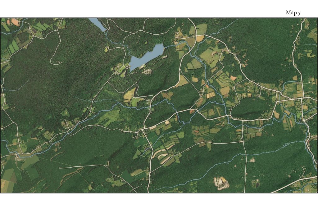
Recent enhanced aerial imagery to convey what the maps don’t
-
Different narrative
To sum things up
Creating a book of the route gave me a framework from which to explore and learn. While I may not publish this book in this form, I might write about my trips.
The map below shows a recent walk as black dots.
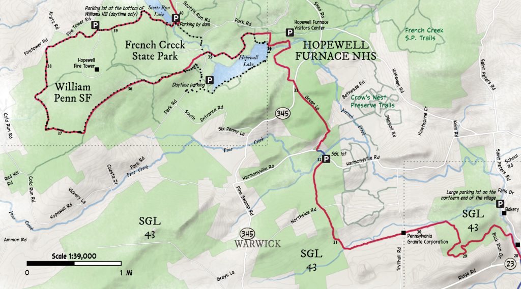
Data: © OSM Contributors CC-BY-SA
Here’s an aerial image of the above map
