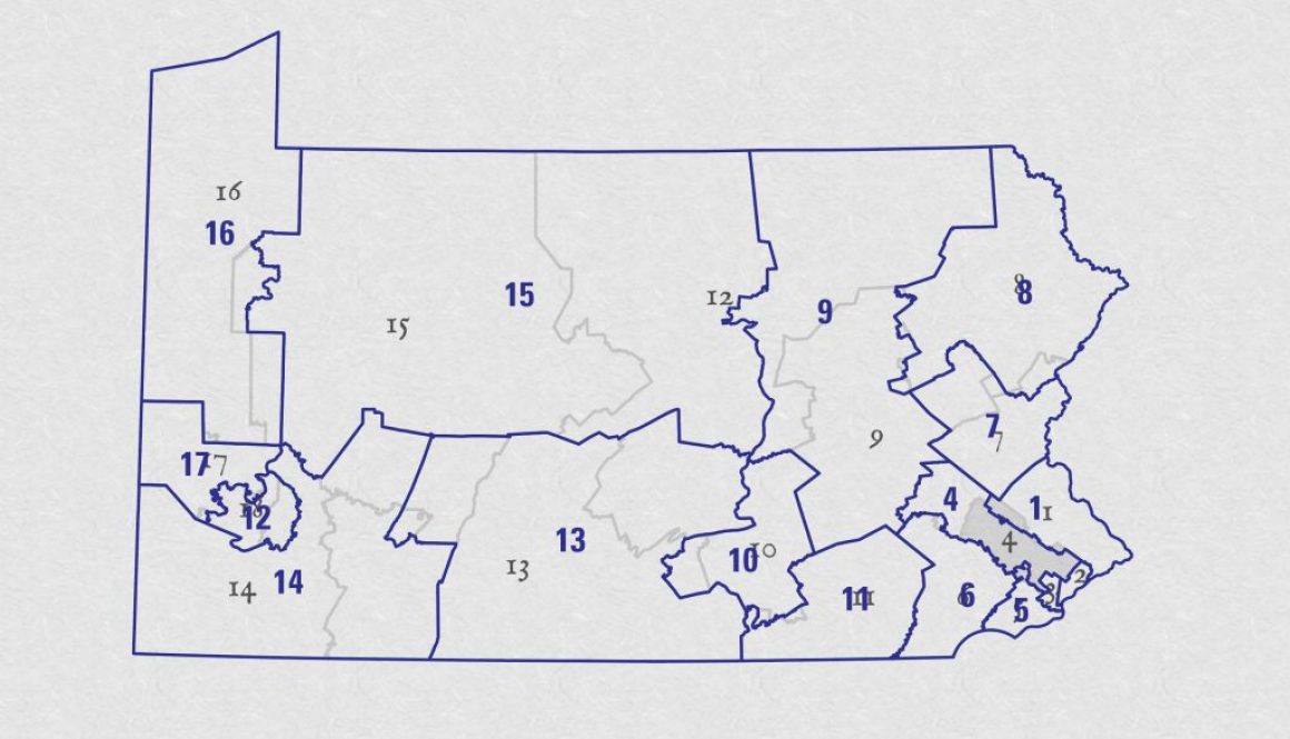
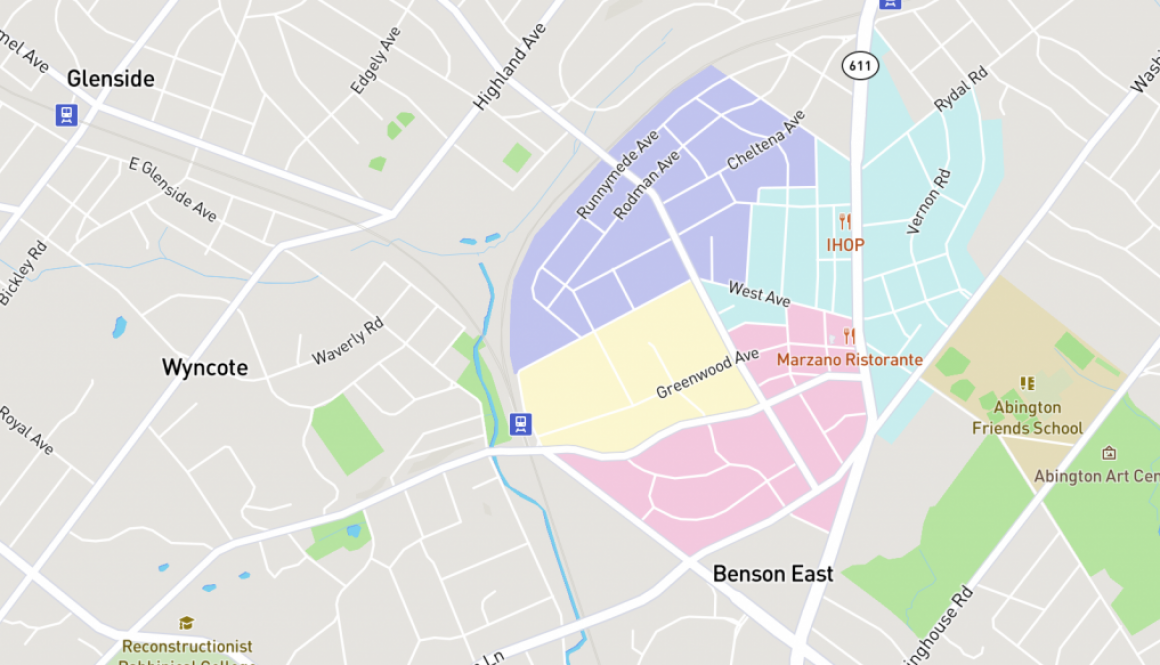
Pennsylvania Congressional Districts – Old vs New
As I work on a map today, I was replacing the current Congressional Districts with the upcoming Districts. The above map is very rough, I know. But I just wanted to show the data I’m working with.
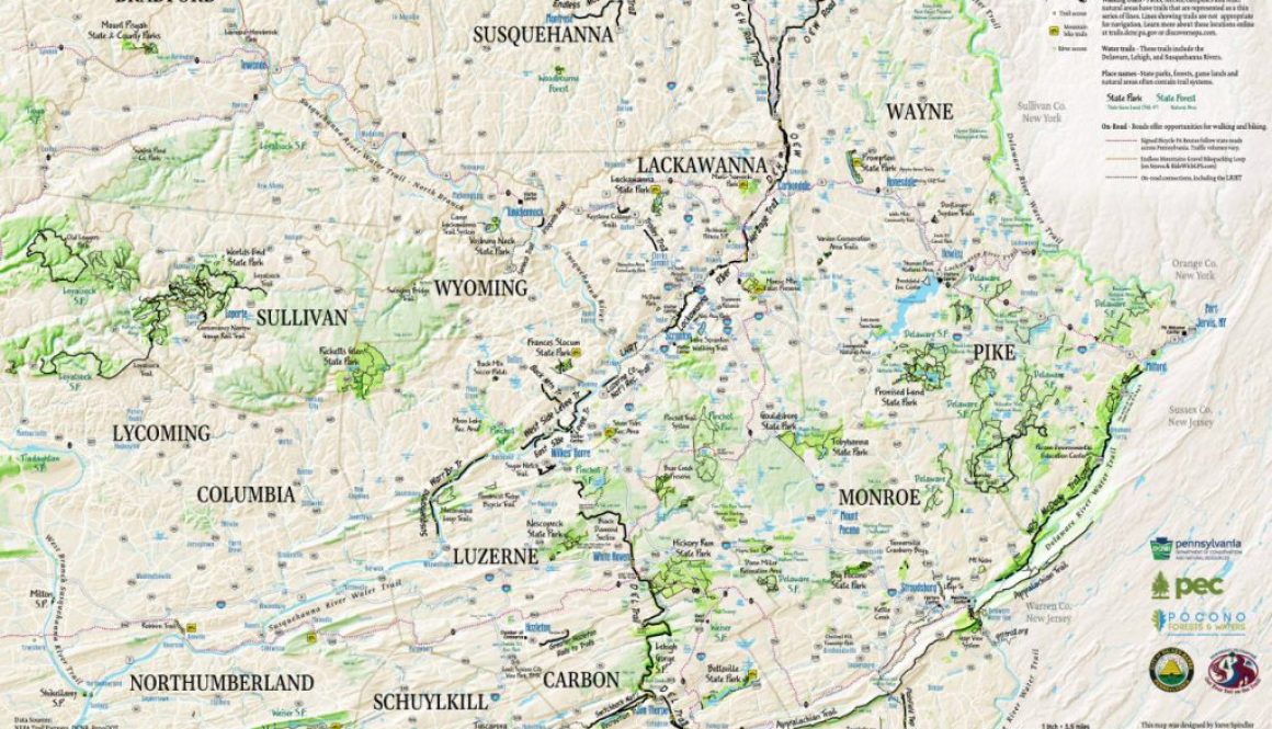
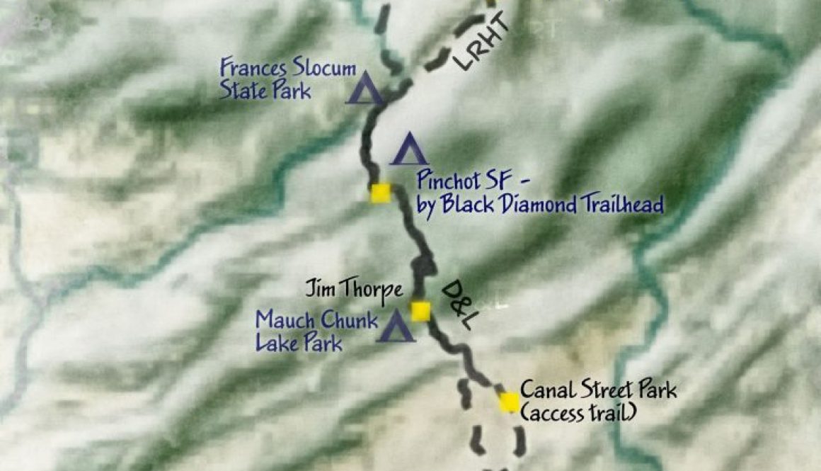
First I want to talk about the Northeastern Pennsylvania Trails Forum. I was at a Pennsylvania Trails Forum meeting on Friday, and I met people engaged in building, supporting and promoting trail development. Janet Sweeney, of Pennsylvania Environmental Council (PEC), invited me to talk about the NE PA Trails map we are doing, and I […]
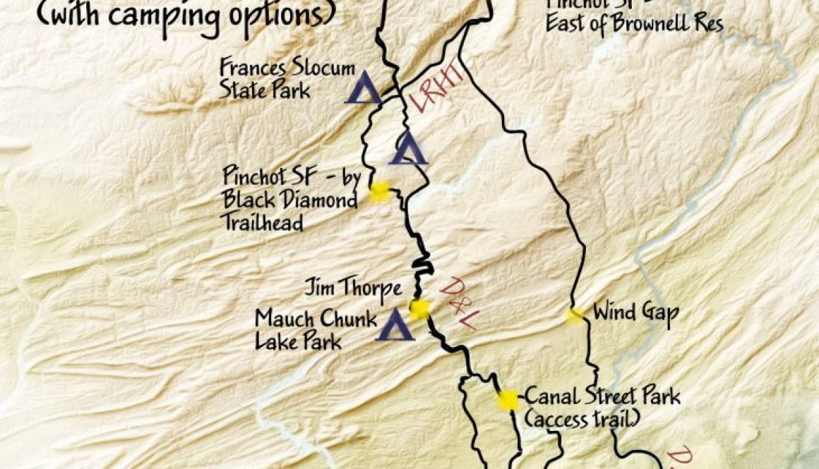
I used Natural Earth as a short cut for a few recent maps. But this morning I wanted to try a bilinear resampling of the SRTM elevation data. I like the result.In this version, I added a few more route options and a couple of campsites. The Speakeasy is supposedly developing a campsite. It’s just […]
It’s great to have friends who want to bike north from Philadelphia to Binghamton, New York. I was thinking about this, and it’s about 230 to 240 miles. You can go west through Tunkhannock, past Lake Carey where I lived as a kid. Or you can take the D&H Trail north from Simpson. This is […]
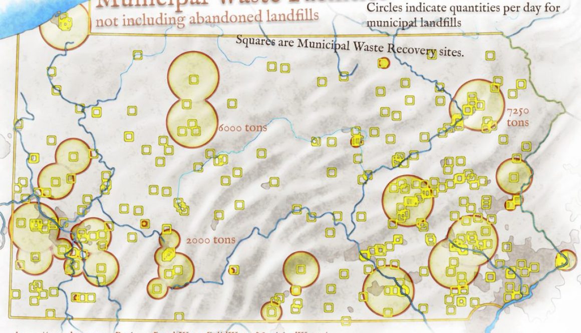
I’m trying to imagine 350 train cars a day filled with 20 tons of trash landing being delivered to a landfill. If each train car carries 20 tons and the landfill takes in over 7000 tons, that’s how I came up with the 350. Here’s a link to an graphic showing where NYC trash goes. […]
An un-edited stream of mapping thoughts. Yesterday I spent a lot of time working through my own version of “Into the Stars – ArtRage Watercolor Tutorials.” The core takeaway was the use of layer textures, and I got a better understanding of Artrage 5 tools. I still have Obi Kaufmann’s atlas open on my desk […]