Working on parking code revisions
This is a map in progress related to Jenkintown Parking. And a link to add comments.
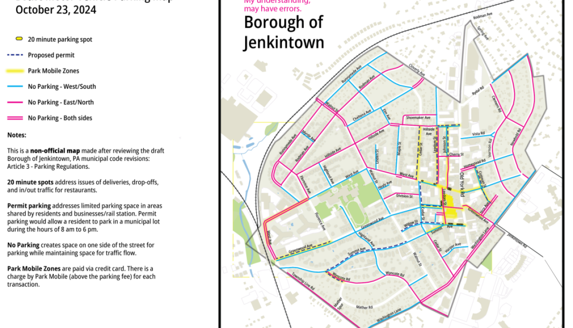
This is a map in progress related to Jenkintown Parking. And a link to add comments.
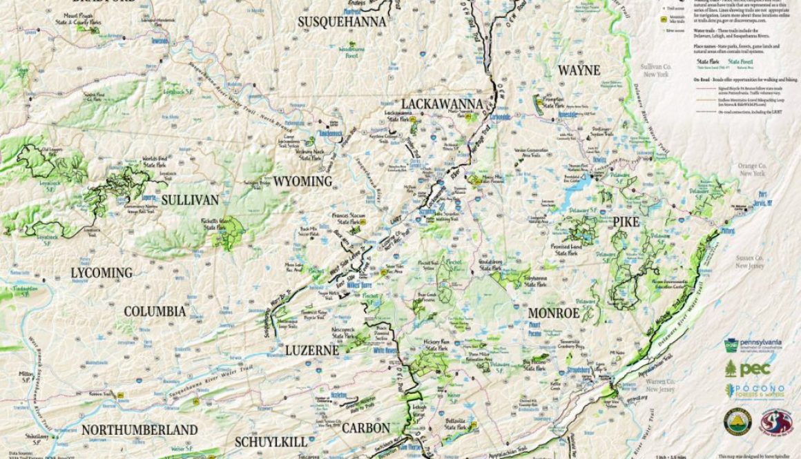
The 2023 NEPA Trails Map is getting printed prior to the Greenways Summit! I want to express my gratitude to Janet Sweeney at the Pennsylvania Environmental Council and others in the NEPA Trails Forum. The 2023 Northeastern Pennsylvania (NEPA) Trails Map will be printed in time for the Pennsylvania State Greenways and Trails Summit, happening […]
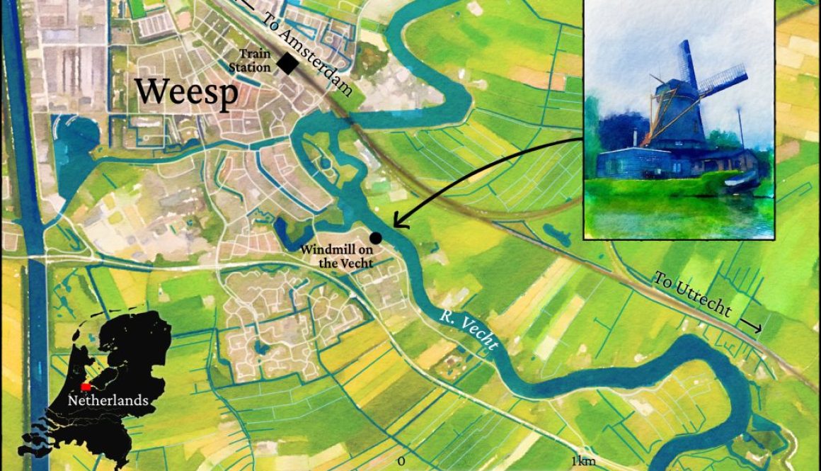
During our recent visit to the Netherlands, we stayed in Weesp and often took the train to Amsterdam. Although we had a car, parking was never an issue. The posted speed limits were clear and strictly adhered to. I noticed two-lane roads being converted into a single lane, with bike lanes on both sides. This […]
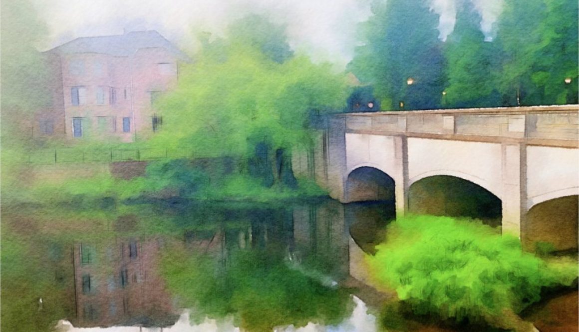
I’ve worked on my digital watercolor methods as we’ve traveled through Croatia and the Mid-Atlantic (MD, DC, VA and NC). Working fast (a relative term, because these things take time) is important, and my goal is to tell a story or convey a sense of place. I want to humanize the experience of being there. […]
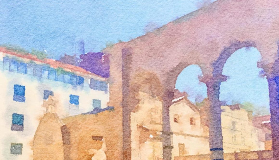
Sandi and I went to Croatia on a Backroads Tour. I made a series of maps of our trip that focused on digital watercolors. The maps are all georeferenced despite the watercolor approach. Here are a few of the maps. Getting there Our flight plans changed. Rather than flying direct to Dubrovnik, we flew to […]
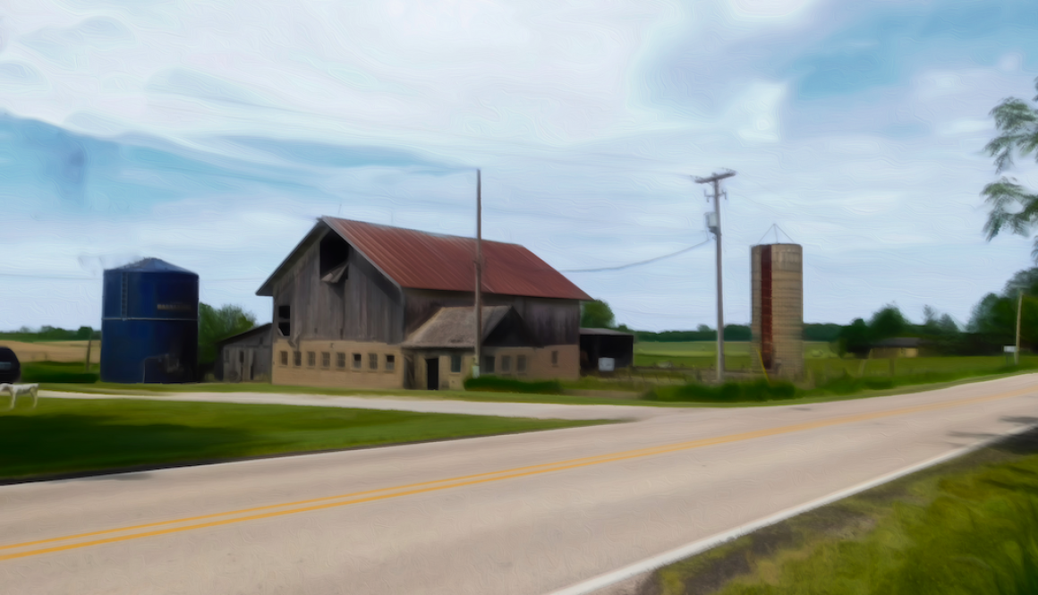
In May 2023 I visited Davenport. On May 28th I made a map of the Hennepin Canal while sitting at Dunn Bros Coffee in Bettendorf. What impressed me was that it’s possible to camp along the route. It’s a good route on a gravel bike although there were a lot of gnats. There is a […]
So much is happening at the moment. Today I’ve been looking for a job where I can innovate and collaborate, meeting for coffee with Jim Pinheiro to review a map proof, putting together a presentation for the fall Pennsylvania Greenways conference, helping WikiMapping clients make their sites multi-lingual, working on maps for a history book […]
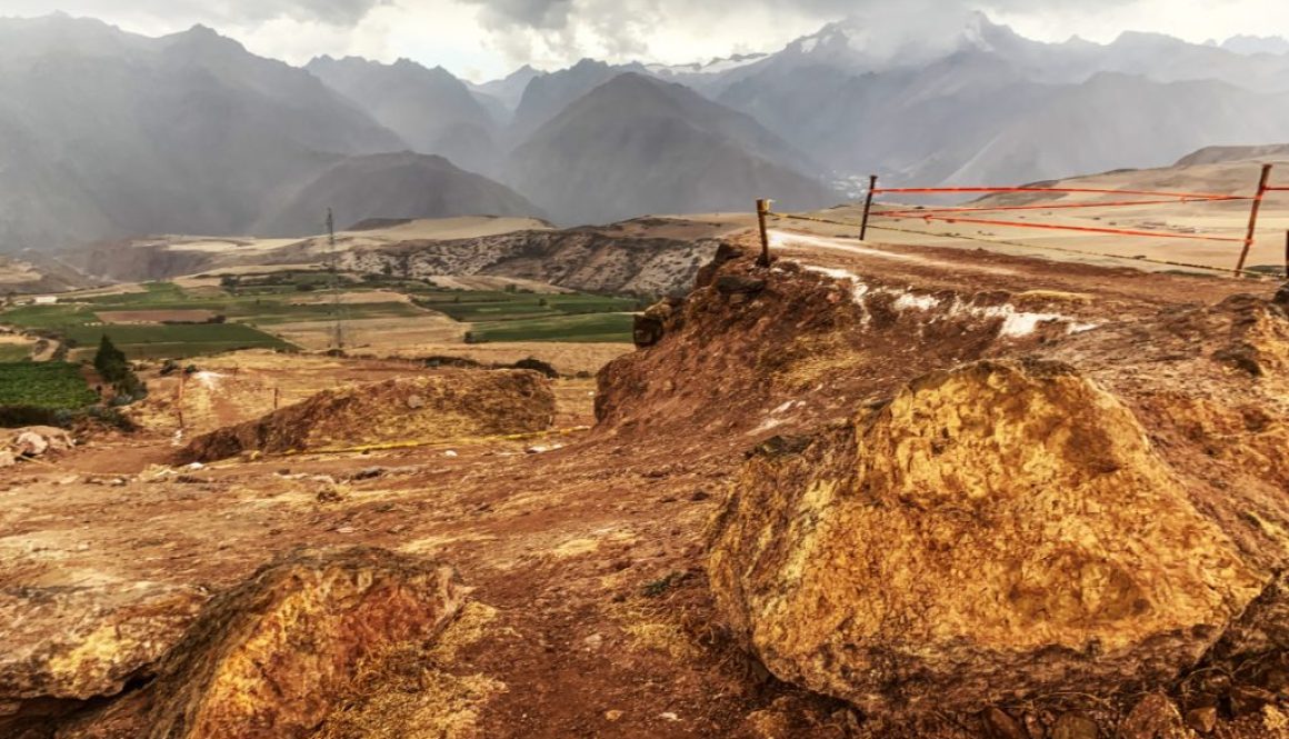
Mountain biking hasn’t been something I’ve focused on. Still, I was impressed the mountain biking culture surrounding the Sacred Valley in Peru between Cusco and Machu Picchu. I’m just thinking about how a quality mountain bike brand that partners with Quechua guides could a great way to reach a global audience. You go to Peru […]
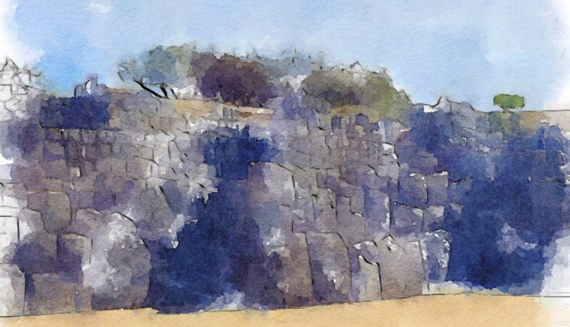
Before visiting Peru last November, I looked at a guidebook and read a book by Mark Adams, Turn Right at Machu Picchu. I think it’s incredibly useful to research and try to understand a place by making a map. So I made this one today. I used QGIS for most of the process and then […]